
July 29 - Walking Alongside Glaciers
30.3km, 2076m ascent
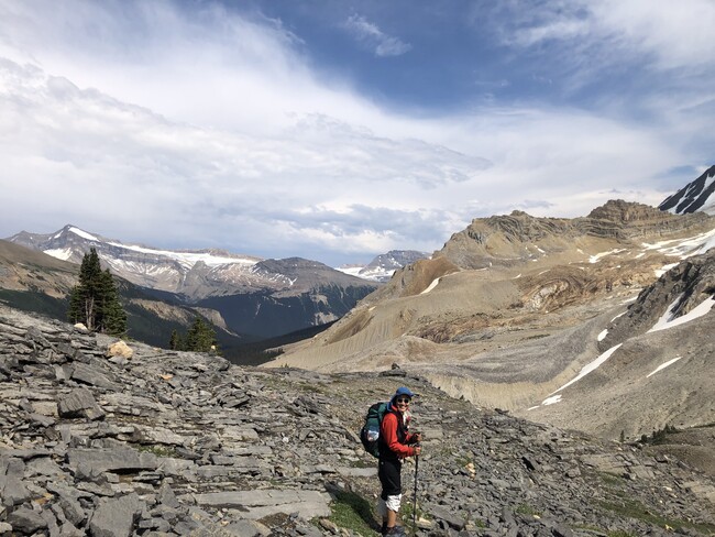
Fresh clothes and somewhat fresh feet made for a great day. Started with 900ishm climb to the alpine which actually felt fabulous. This is a popular area of Yoho NP so the trail was in perfect condition and perfectly graded. Swam in a ice cold lake and then walked alongside various glaciers for a couple hours, just gorge. There was a thunderstorm looming on the otherside of the mountain which accelerated our hiking pace. The trail started to disappear at what was supposed to be the second last pass of the day, Kiwentinok Pass (where there was another, even colder lake, which we of course jumped into). So the descent was extremely gnarly and slow. Another group of three GDT hikers caught up to us here and as a group we decided to call it a day and save the next pass for tomorrow. Somewhat hilariously, our stove stopped working. It was only emitting a tiny amount of gas. Hopefully it magically fixes itself but if not, our new friends said they can hook us up at the next resupply!
Just below the Burgess Shale, where lots of fossils are!
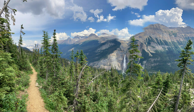
Looking over the valley at Takakkaw Falls.
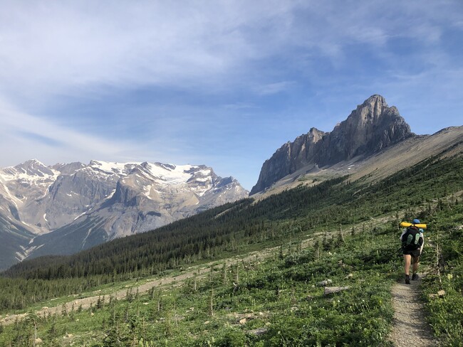
The amazingly beautiful Iceline Trail.
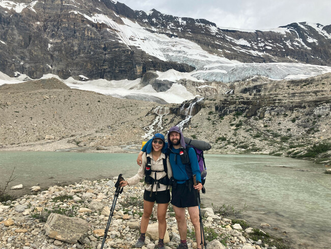
The glaciers are so close!
July 30 - Bushwack + Roadwalk
31.7km, 946m ascent
It was a critically good decision to camp early last night. The next pass was almost entirely bushwhacking. Also, a horde of mosquitoes followed us above the treeline which made Bill very angry on the already very hairy descent. The second leg of the day was mostly along a long ago decommissioned logging road (we aren’t in Yoho anymore!) which was light bushwhacking with spurts of the heinous stuff. And the third part was on an active logging road - this is always Viv's least fav, hardpacked landing made for very sore feet. At least we get to sleep next to nice sounds of a roaring river.
July 31 - Navigating Giant Floodplain
36.0km, 560m ascent
First thing today was a roughly 200m section of avalanche debris, by which I mean all the trees had fallen, obliterating the trail which was meager to begin with. The first section was not too bad, but then we saw a second, much worse section! We went down to the river, crawled through a tree tunnel, and waded through the mud and ice cold water. Viv found someone’s groundsheet and a water bottle cap, but Bill lost a flip-flop. Then we hiked maybe two hours on a trail in heinous conditions.
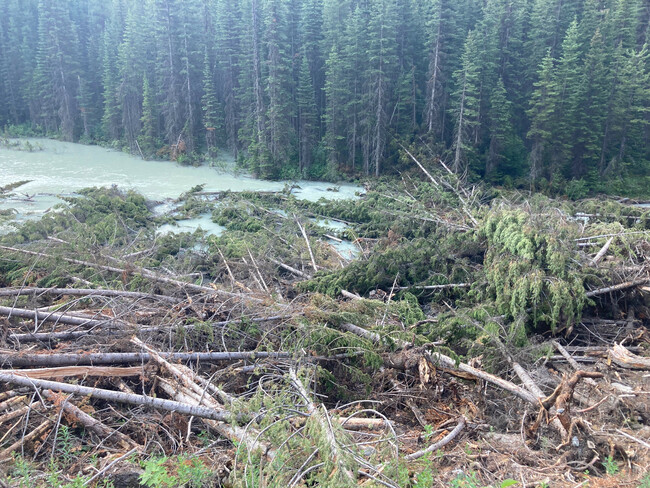
Avalanche debris - very tough to cross.
This led us to Howse River floodplain which is much, much more vast than we had thought. The recommended route avoids an old, overgrown trail, and instead puts you right on the floodplain. Mostly the hiking was easy, except for when we had to follow game trails up and down cliffs that were along the river bank to avoid the very swollen parts of the river. This was some of the sketchiest hiking ever. We also did some waist deep fords of some of the river braids. Fun! The long clicks + bad trail + floodplain navigating led to one of our longest days, only getting into camp at 9 (and we turbo-moded the last 9k!).
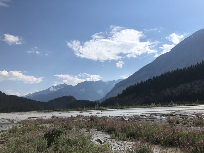
Howse River Floodplain.
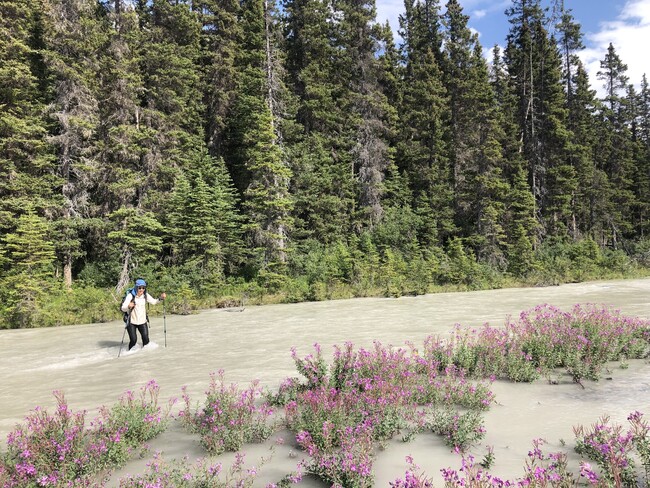
Viv crossing a braid of the Howse River.